[In the middle of no where ,but in the center of Universe]
-Tanah Papua-
Overview
Puncak Trikora, until 1963 Wilhelmina Peak, is a 4730 or 4,750 m (15,584 ft) high mountain in the Papua province of Indonesia on New Guinea. It lies in the eastern part of the Sudirman (Nassau) Range of the Maoke Mountains. Behind Puncak Jaya (Carstensz Pyramid) at 4,884 m (16,024 ft), it is either the second or third highest mountain on the island of New Guinea and the Australasian continent. As such it appears on some Seven Second Summits lists, although SRTM-data and a recent ascent of Puncak Mandala by Christian Stangl (Feb 2012) support that Puncak Mandala (Juliana Peak) in the Pegunungan Bintang range (Star Mountains) is higher at 4,760 m (15,617 ft).
Summit ridge:
There are many fore-summits to pass to reach the true summit and scrambling skills and a strong constitution are required; there is a decent amount of exposure. The main summit is not composed of solid limestone but is more like a plateau with loose rocks. From the short chimney that leads to the summit ridge from the grassy Northern flank, it is about 3 hours climbing via the Western ridge. According to the GPS reading taken by Christian Stangl, the distance is 1,6km as the crow flies on a difficulty scale of 3. On the summit itself is a metal bronze plate that reads: “Puncak Trikora Desember 1983 Ekspedisi Maoke”
Glaciation
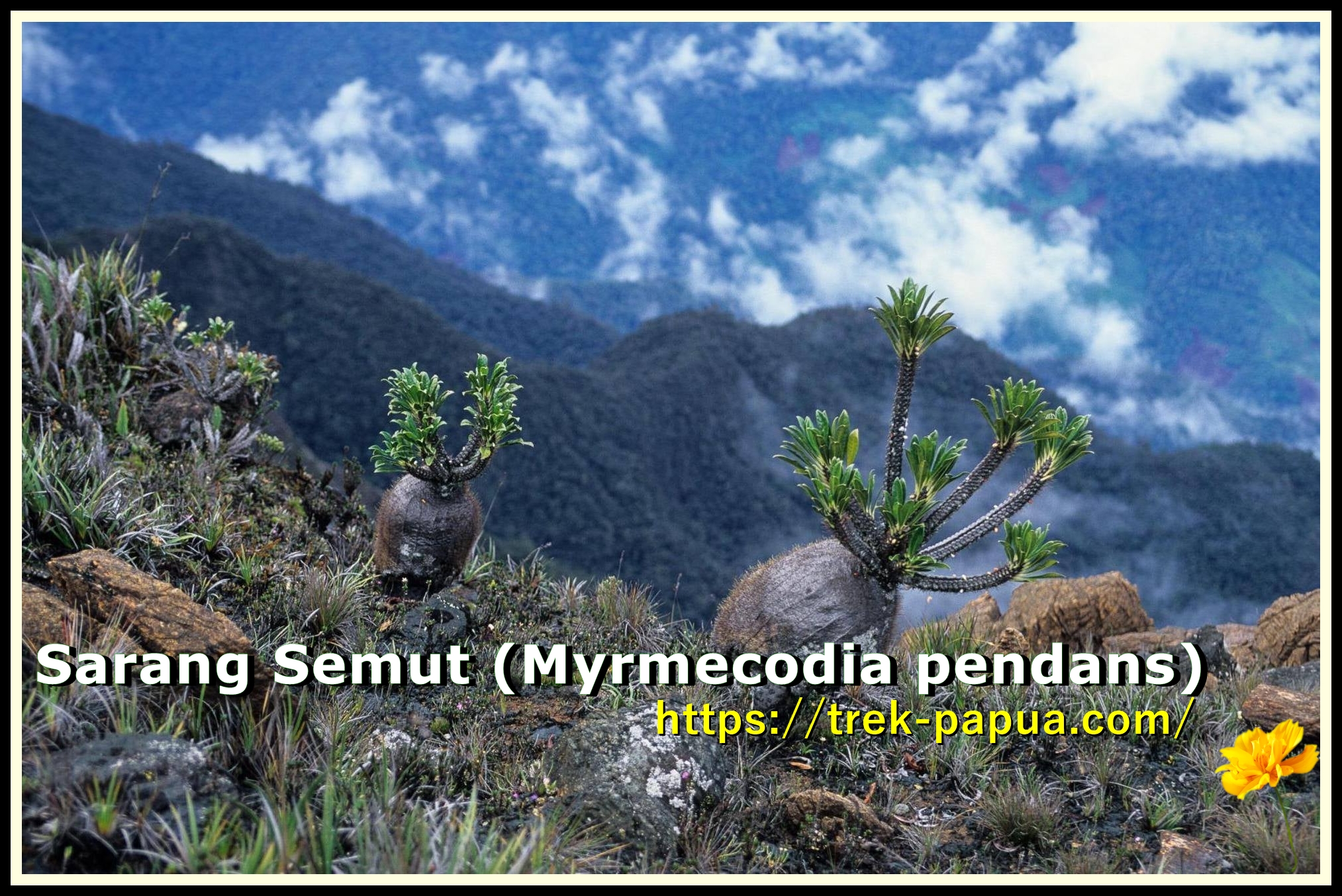
Puncak Trikora was covered by an ice cap that melted between 1936 and 1962. In 1909 the ice cap still reached as low as 4,400 m (14,436 ft).
Getting There
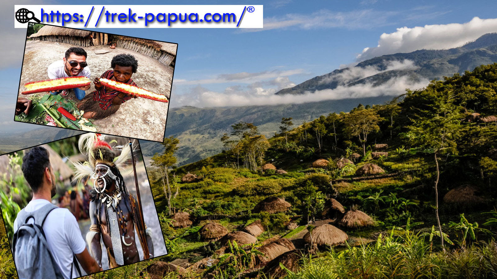
To reach Puncak Trikora, you need to hire a 4X4 vehicle to negotiate the steep and winding road from Wamena, in the Baliem Valley, up into the Jayawijaya mountains, to the starting point at Lake Habema. This can take 2-3 hours and is usually organized by a local agent [trek-papua]. The only way to reach Wamena is by air; it is easy to organize a flight from Sentani (Jayapura) on the north coast of Papua province. Several airlines fly to Sentani from Jakarta or Bali.
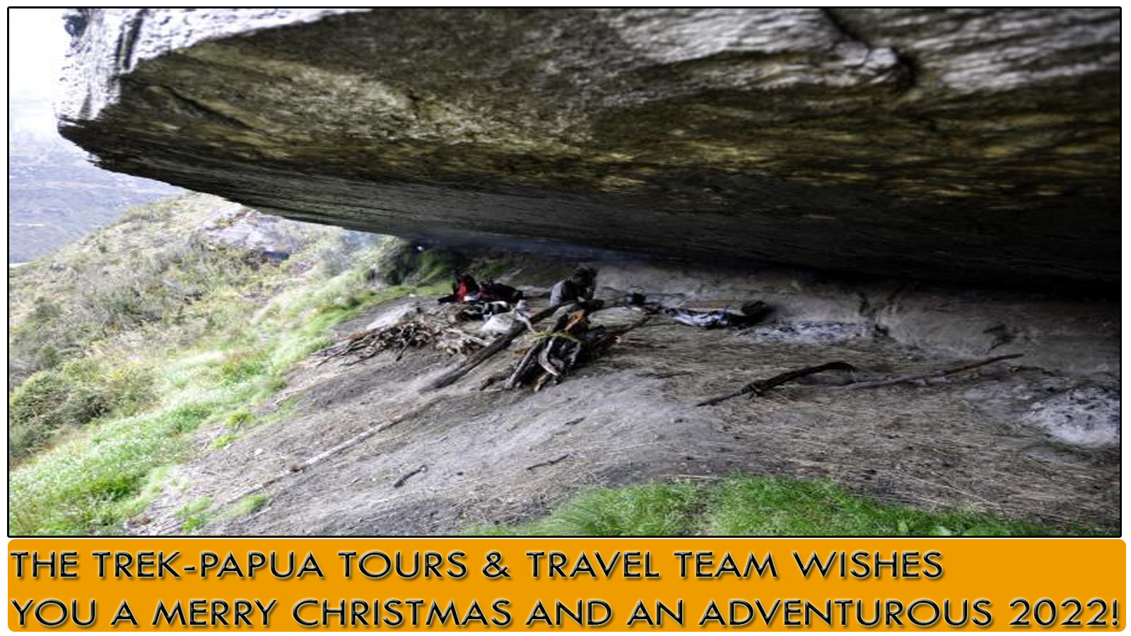
Once you reach Lake Habbema, it takes 2 days to reach Semalak (Cave) camp at the base of the mountain. This is a well-used, although exposed cave. Porters will normally rig up a windbreak to keep out the worst of the wind, and it is possible to squeeze two small tents under the cave roof. From the cave, expect to take 8-12 hours for the ascent – the route onto the summit ridge is not well-trodden and you will rely on the route-finding skills of your guide to some extent – the approach is grassy in areas, which can make for some uncomfortable scrambling in the wet. Once you get onto the northern flank, you traverse east to a steep, rocky 20 m chimney that gives access to the summit ridge. Detail program, please e-mail me: trekpapua@gmail.com, or WhatsApp me at: +62 812-4762-870-8